Cartography 101: How Maps Fueled Explorations and Empires

If you think maps are just handy tools for navigation, I’m here to prove you wrong. In fact, cartography, the art and science of map-making, has always been political. It’s been used as an instrument of power, control, and ambition.
Far from being neutral records of geography, maps shaped the course of history by fueling exploration, colonization, and empire-building. They redrew borders, claimed lands, erased cultures, and legitimized conquests.
From ancient scrolls to modern GPS grids, the way we chart the world has never been just about finding our way; it’s been about deciding who gets to own the way.
Walk with me for a while as we let’s take a closer look at the lines that currently define our world.
The Power of Maps in Early Civilizations
Long before GPS, maps were already shaping civilizations.
In Ancient Babylon, clay tablets were etched with land boundaries and irrigation layouts. These weren’t just for practical use—they were political. Specifically, land ownership maps allowed kings to collect taxes, settle disputes, and maintain order.

“It’s political” exhibit B: Around 600 BC, Babylonian elites created the world’s earliest surviving map—not to chart geography, but to assert political and cultural dominance. They portrayed the world as a symbolic circle surrounded by water, reflecting their religious worldview.
By deliberately excluding known powers like the Persians and Egyptians, they used the map to reinforce Babylon’s centrality and superiority.

In Ancient Egypt, maps had a deeper meaning. They were often spiritual tools tied to the afterlife and the journey of the soul.
Ancient Egyptian religious beliefs heavily influenced how geography was recorded. For example, temple layouts and sacred rivers were featured prominently in Egyptian maps, reflecting cosmology as much as reality.

The Greeks elevated cartography to something closer to science.
The geographer Ptolemy, writing in the 2nd century CE, introduced concepts like longitude and latitude, and even proposed a grid system to chart the globe. His book Geographia would go on to influence Islamic and European mapmakers for centuries.

Cartography in the Age of Exploration
The so-called “Age of Discovery” from the 15th to 17th centuries wasn’t just powered by ships; it was fueled by better maps.
Portuguese and Spanish navigators, racing to find trade routes and new territories, relied on evolving charts to cross oceans and claim distant lands.
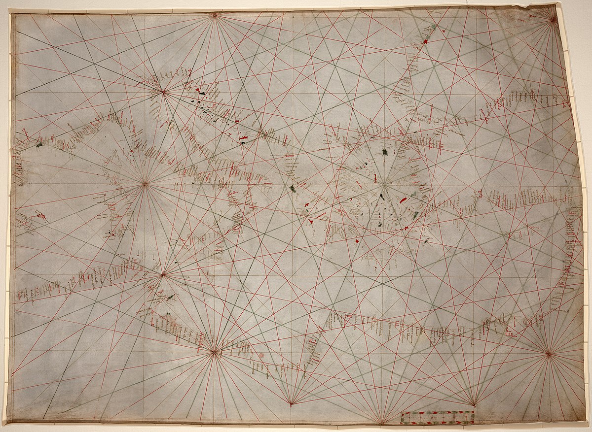
One of the most useful tools of the time was the portolan chart. These were detailed coastal maps that helped sailors navigate using compass directions and landmarks. Monarchs highly prized these maps and either locked them away or secretly copied them to gain a competitive advantage.

Cartography became a tool of the empire.
With each discovery came a redrawing of the known world. And with every redrawing came a new claim—on land, resources, and people.

It’s no accident that the rise of global exploration coincided with a golden age in mapmaking. The more precise the maps, the more efficiently nations could colonize and conquer.
Mapping as Propaganda and Political Power
By now, you should’ve realized that maps are tools for influence and power.
During the colonial era, European powers used cartography to legitimize their control over foreign lands. A great example is the Treaty of Tordesillas in 1494, where Spain and Portugal divided the non-European world—quite literally—on a map.

Another example is the Mercator projection, one of the most widely used map styles. This version made Europe appear larger and more central than it is. While useful for navigation, it subtly reinforced Eurocentrism and distorted perceptions of other continents.
To put things into perspective, here’s a map that uses the Mercator projection:

Now, here’s a GIF that shows the actual land sizes of each country:

Gerardus Mercator may have originally created his map for navigation, but over time, it has become clear that such maps can also influence how we view the world and understand global power dynamics.
Even today, political maps can influence opinions. Think about disputed territories or color-coded world maps used in media. A line here or a label there can shape public perception—and policy.
The Modern Legacy of Empire-Era Cartography
Look at a world map today, and you’ll still see the legacy of colonial cartography.
European powers drew many national borders—especially in Africa and the Middle East—during the 19th and 20th centuries. These lines often ignored ethnic, linguistic, or tribal boundaries, and that’s caused serious issues.


As European colonial empires weakened after the two World Wars, most African colonies achieved independence during the Cold War. African nations established their sovereignty, often amid political turmoil and competing global interests.
Yet even today, many regions across the continent continue to face complex conflicts rooted in colonial-era borders, resource struggles, and foreign interventions.
Modern conflicts—from civil wars to refugee crises—often trace back to poorly drawn colonial maps. In many ways, lines made by outsiders continue to affect lives on the ground.
Still, we’ve come a long way. Cartography is now more collaborative, data-driven, and accessible. But the core question remains: Who’s holding the pen—and why are they drawing what they draw?
Reading Between the Lines (pun intended)
To reiterate, maps have always meant more than mere directions and destinations. They told stories, projected power, and influenced how entire populations saw the world—and themselves.
From ancient Babylon to modern-day borders, cartography has shaped politics, culture, and conflict.
In any case, I hope that this quick read makes us take a closer look at our world and question how it came to be, and how it’s still constantly being changed.
So, the next time you open a map or zoom in on Google Earth, pause for a second. Think about who drew that map, what they wanted you to see, and what they might have left out.
SOURCES:
https://about.soar.earth/blog-pages/the-evolution-of-maps-from-paper-to-soar-earth
https://www.icsm.gov.au/education/fundamentals-mapping/history-mapping


